What We Do

Arboriculture, Ecology, Environmental Science and GIS

Aligned to our purpose, Preserve and Prosper, AGS provides arboriculture, ecology, environmental science and GIS consulting and related operations across eight core service areas supporting urban greening and tree care, environmental management and infrastructure project management:

  • Environment & Development
  • Urban forestry, canopy modelling and greening
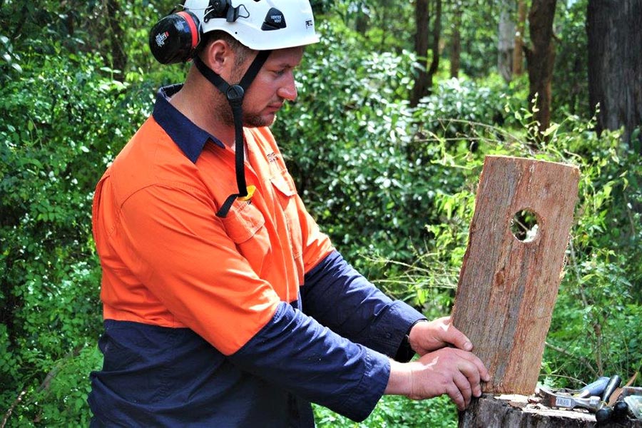
  • Vegetation management
  • Ecosystem restoration
  • Bushfire mitigation
  • Invasive species and weed control
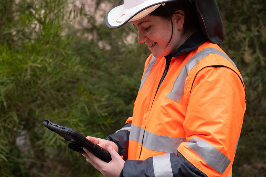
  • Data collection and systems
  • Drones

What We Do

Core Services

At AGS, we specialise in urban greening and tree care, environmental management and infrastructure project delivery through canopy, habitat and biodiversity preservation, and bushfire mitigation through consultancy and operational solutions. From assessment and supervision, through plant health care, tree planting and pruning, to biodiversity preservation, disaster & community recovery, and bushfire mitigation, our comprehensive services ensure the health and sustainability of green spaces. With a focus on excellence and environmental stewardship, we provide tailored solutions to meet the diverse needs of our clients and communities.

Environment & Development

  • Environmental impact assessment
  • Arboriculture impact assessments
  • Flora and fauna surveys
  • Erosion impact, risk and management
  • Soil assessment and improvement planning
  • Carbon capture and mitigation planning

Urban Forestry & Greening

  • Urban greening strategy and planning
  • Urban tree canopy assessment
  • Urban tree canopy modelling
  • Tree risk assessment and mitigation
  • Tree inventories and values
  • Tree inspection and management plans
  • Tree preservation and protection
  • Tree planting and species selection
  • Training and education

Vegetation Management

  • Project & stakeholder management
  • Vegetation removal programming
  • Tree replacement strategy & supervision
  • Fauna spotting, capture & release
  • Fencing specification & supervision
  • Triage & treatment of trees in decline
  • Timber reuse planning and coordination
  • Climate change resilience planning

Ecosystem Restoration

  • Environmental impact assessment
  • Arboriculture impact assessments
  • Flora and fauna surveys
  • Erosion impact, risk and management
  • Soil assessment and improvement planning
  • Carbon capture and mitigation planning

Disaster Recovery & Bushfire plans

  • Bushfire planning
  • Bushfire preventative works management
  • Remediation works planning and management
  • Disaster assessment
  • Risk management
  • Operations coordination
  • Systems & reporting

Invasive Species & Weed Control

  • Weed mapping, survey and assessment
  • Weed control plans
  • Herbicide selection and application
  • Monitoring and maintenance

Data Collection & Systems

  • Data collection
  • Geospatial capture
  • Systems assessment and recommendation

Drones

  • High resolution digital imagery
  • Thermal imagery for plant health
  • Multispectral imagery for plant health
  • 360 degree imagery
  • 3D aerial and ground models
  • 2D survey-grade mapping
  • Wildlife and habitat identification
  • Site monitoring and mapping